|
Mt. Baker (2006) |
|
Last Updated 06/02/06 |
|
||||||||||||||
|
Climb Description |
|
It's not every day that we find ourselves in the North West with all our gear and the promise for good weather. Scott and I jumped at the chance to climb Baker from the traditional route. This would be the third time I headed out for the summit on this route... would the third time be a charm?
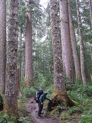
We started hiking in the rain.
And it didn't stop raining until we were at base camp.
Most of the creek crossings were slippery and wet but the snow bridge over this one was still intact.
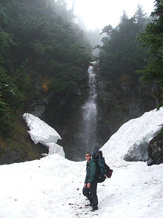
By the time we cleared the tree line, it looked like we were making our way above the cloud layer.
But we were soon back in the thick of them with no land marks in sight.
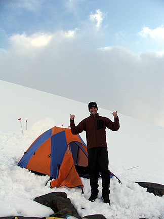
We pulled up to 6800 feet and parked along side the last pile of rocks on Heliotrope ridge. There were a couple of brothers there already (Tom and Steve) who graciously shared their rock spot. Holes in the cloud cover began to pass over us and teased us with promise of a view of the mountain, but the view never came so we crashed in the tent to get some sleep before the morning climb.
Then just before sunset, Tom woke us up with reports of a clear view. And that it was.
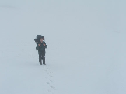
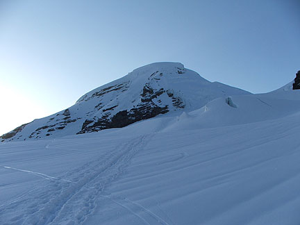
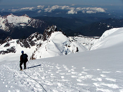
We slept through the alarm and woke up just as the sun was beginning to light the sky. Tom and Steve had left for the summit an hour or two ahead of us so we didn't waste any time roping up and gearing up. We headed out across Colman glacier at high speed. The route shots up to the saddle between Colfax Peak and Grant Peak (the main summit), then follows a ridge to the summit dome. The dome itself is probably the steepest part but good steps from previous climbers make the assent a pretty easy walk up.
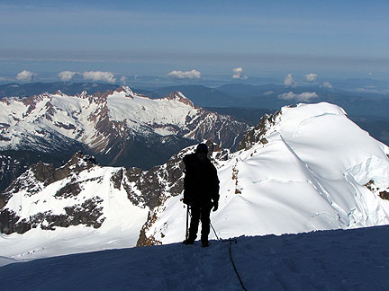
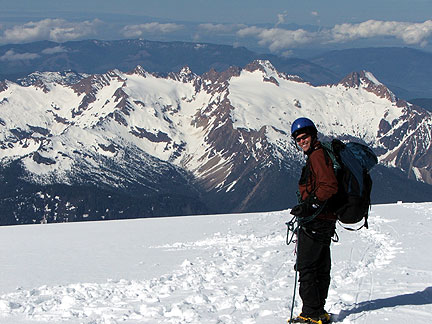
Here's Scott with the back side of the Sister's range and Colfax Peak behind him.
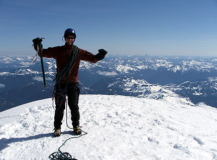
The summit was cold and windy.
We were beat. The Ski-to-Sea race the day before had taken a bit of a toll.
The decent took nearly as long as the ascent. Scott's feet were giving him trouble and I was low on energy, so we just kept it slow and easy.
The sun was taking it's toll on the firm snow surface though and by the time we reached camp, we were plunging through the surface about a foot or so.
After a little nap at camp, we packed up and headed down. The way back to the tree line went fast even though we were now plunging nearly to our knees in soft wet snow. The trail to the truck seemed to literally stretch out in front of us as we hiked. But as always it eventually gave in to persistence and our climb was soon over.
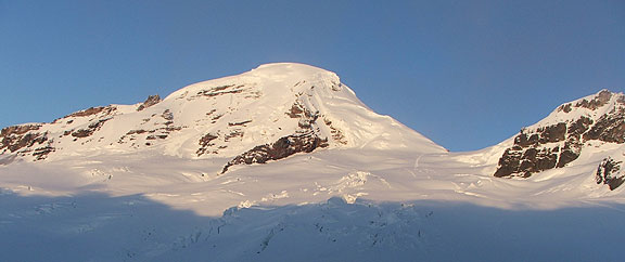
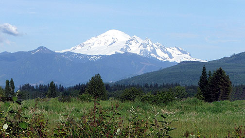
The forecast called for more rain, but it held off for another photo from the valley. You see the majority of the route from here and our camp site as well (if we had the resolution).
|